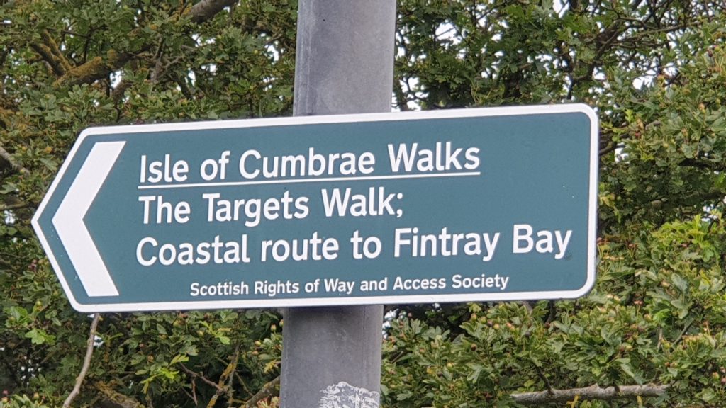
The ‘Targets’ from Millport Old Pier

Starting Point: Millport Pier
Distance: 3.5 Miles / 5.5km
Max. Elevation: 165’/50m
Starting from the pier continue walking uphill and follow the road to the golf course passing the farms of Lower and Mid Kirkton. It is here between the two farms that the graveyard for the original island settlement is sited and also on the right a path leads onto the Minister Walk and back to town. The last farm on the road is Upper Kirkton, where the route goes left up the side of the steading and turns left along a broad track. Continue along the edge of the field where good views of Bute and Kilchattan Bay can be obtained to the right and the outline of the “Sleeping Warrior” of Arran ahead.
The route then descends to the road at Sheriff’s Port. An attractive coastal path leads back to Millport where the full aspect of the town opens up as well as giving spectacular views of the Clyde, Arran and Little Cumbrae. Please be aware: in recent years this latter part of the costal path has become overgrown and an alternative is to stay on the pavement all the way back to the town.
Please Note:
As a number of the walks have sections on working farmland users should be prepared for muddy lengths if the weather has been wet. Stout footwear and waterproof clothing are recommended. The Cycle Routes are entirely on road and users should follow the Highway Code at all times. They should also wear cycle helmets, brightly coloured or fluorescent clothing and ensure that their bikes are in good condition.
There is no additional information for this location.
